Interstate-First Access
The SR-505 interchange at I-5 provides a practical north-south freight orientation for companies connecting Southwest Washington, Oregon, Puget Sound, and broader Pacific Northwest markets.
WSDOT — I-5 / SR-505 Project Page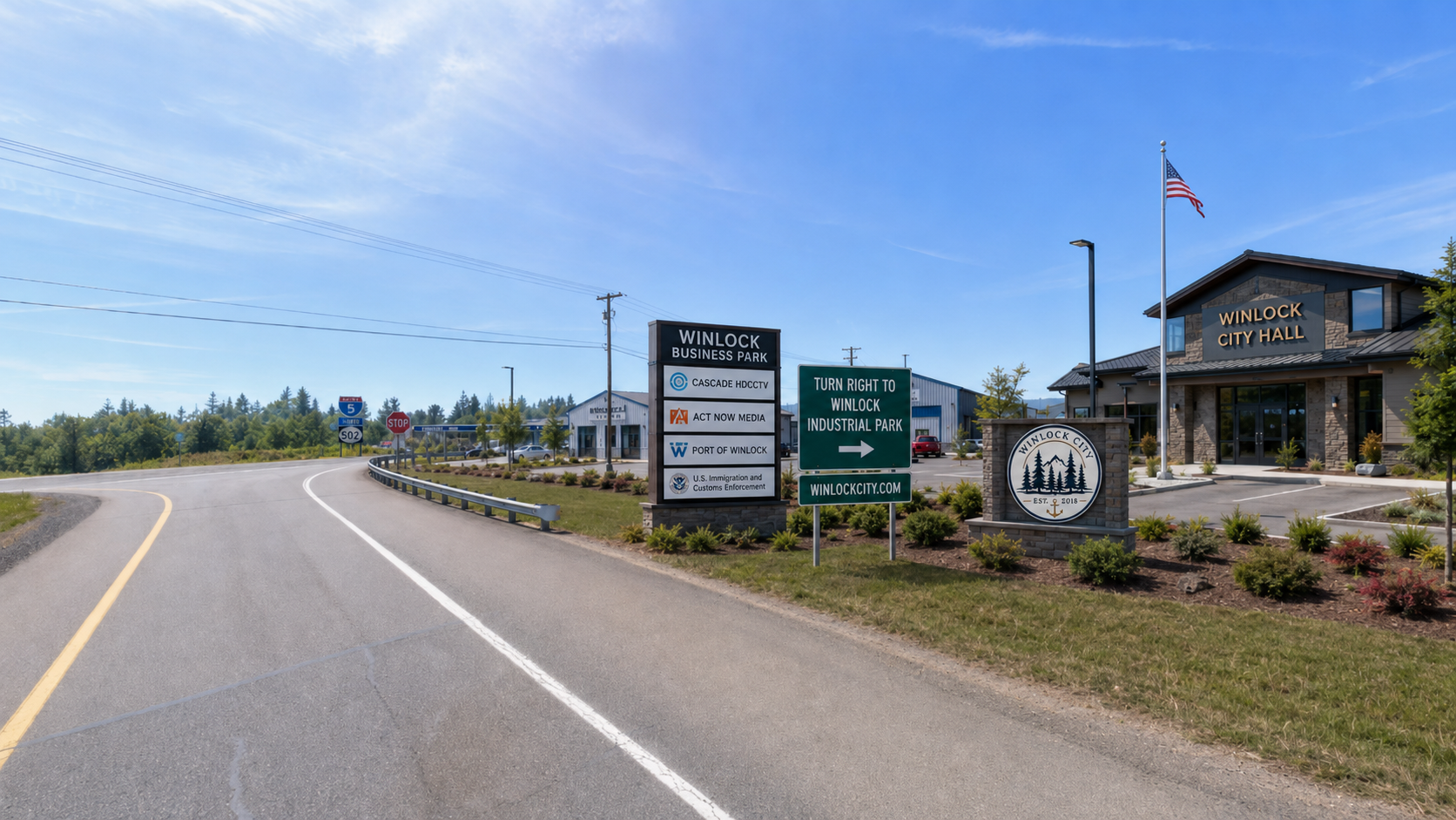
Winlock Industrial Park® is positioned near Exit 63 at the I-5 and SR-505 corridor — a visible gateway for industrial land, logistics, skilled trades, business growth, and regional opportunity.
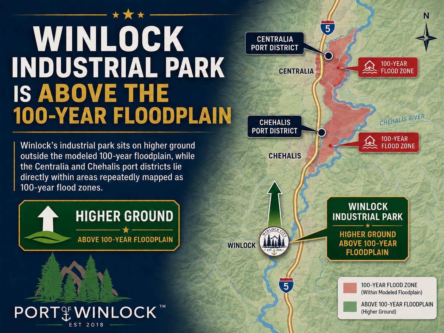
The Winlock Industrial Park area is presented as a higher-ground industrial location along the I-5 corridor. The graphic compares the Winlock location with floodplain areas mapped around Centralia and Chehalis.
Winlock Industrial Park is located near Exit 63 off Interstate 5 in Winlock, Washington, west of I-5 near the Highway 505 connection.